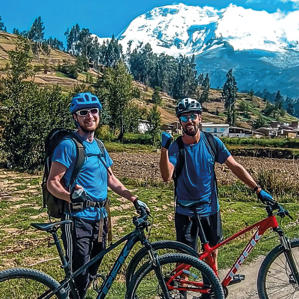

At the Foot of Huascarán by MTB
$ 208.00
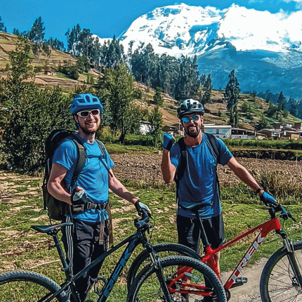
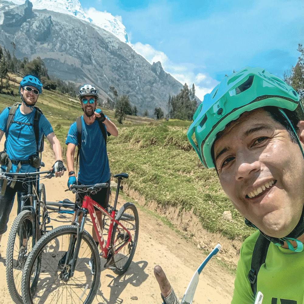
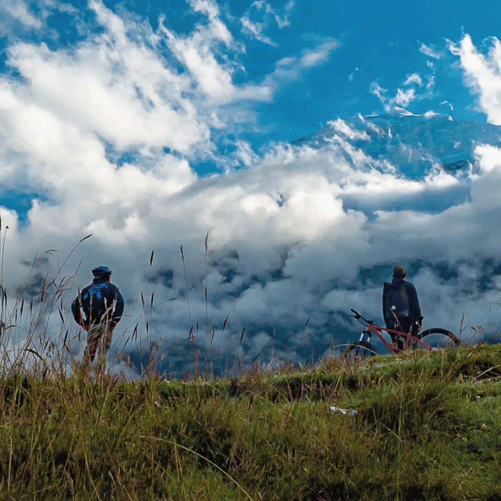
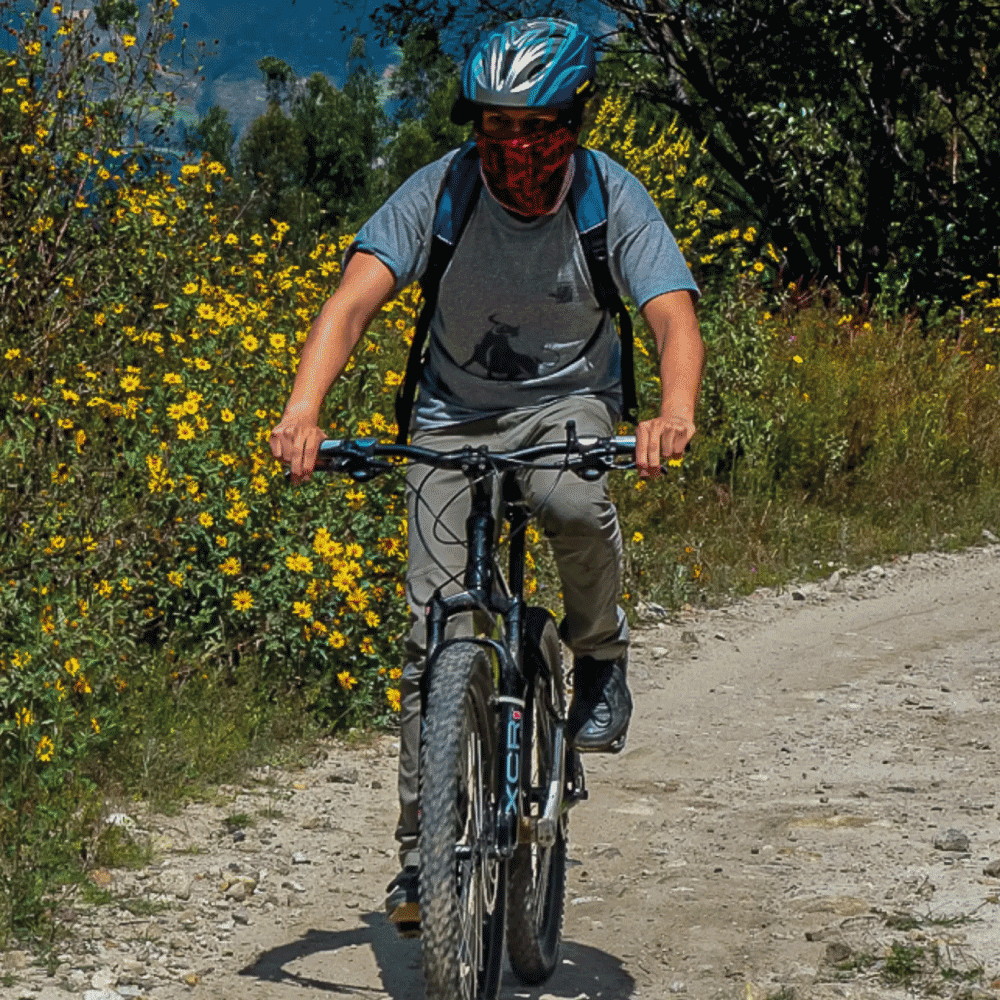
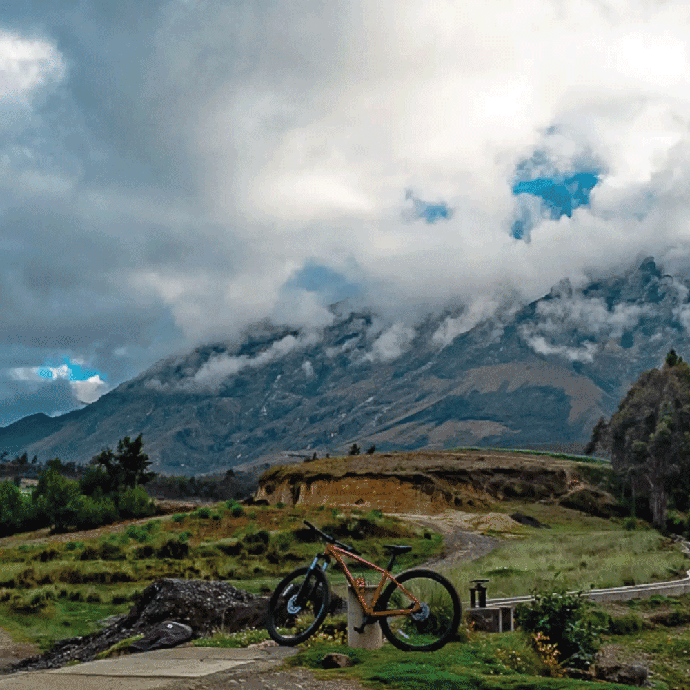
Experience an unforgettable mountain biking adventure at the foot of Huascarán, the highest peak in Peru. This scenic route follows dirt roads and traditional Andean trails through picturesque villages, forests, and open valleys, offering spectacular views of the snow-capped giants of the Cordillera Blanca. The combination of exciting descents, rolling terrain, and breathtaking landscapes makes this ride suitable for both intermediate and experienced mountain bikers.
The journey combines thrilling downhill sections with rewarding climbs, allowing riders to experience the natural beauty and cultural heritage of the Callejón de Huaylas. Surrounded by glaciers, crystal-clear rivers, and panoramic mountain vistas, this MTB adventure offers the perfect blend of adrenaline, exploration, and unforgettable scenery in the heart of the Peruvian Andes.
| Difficulty |
Moderate |
|---|---|
| Days of Excursion |
1 days |
| Min. group size |
2 people |
| Max. group size |
12 people |
| Quantity | Price | Discount |
|---|---|---|
| 3-5 | $ 187.20 | 10% |
| 6-8 | $ 176.80 | 15% |
| 9+ | $ 166.40 | 20% |
99999 in stock
Gallery
Itinerary
Tour Details
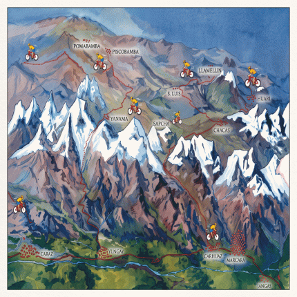
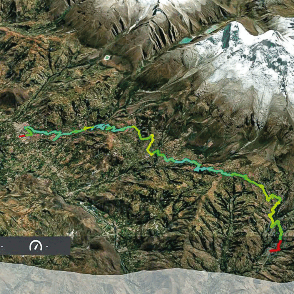
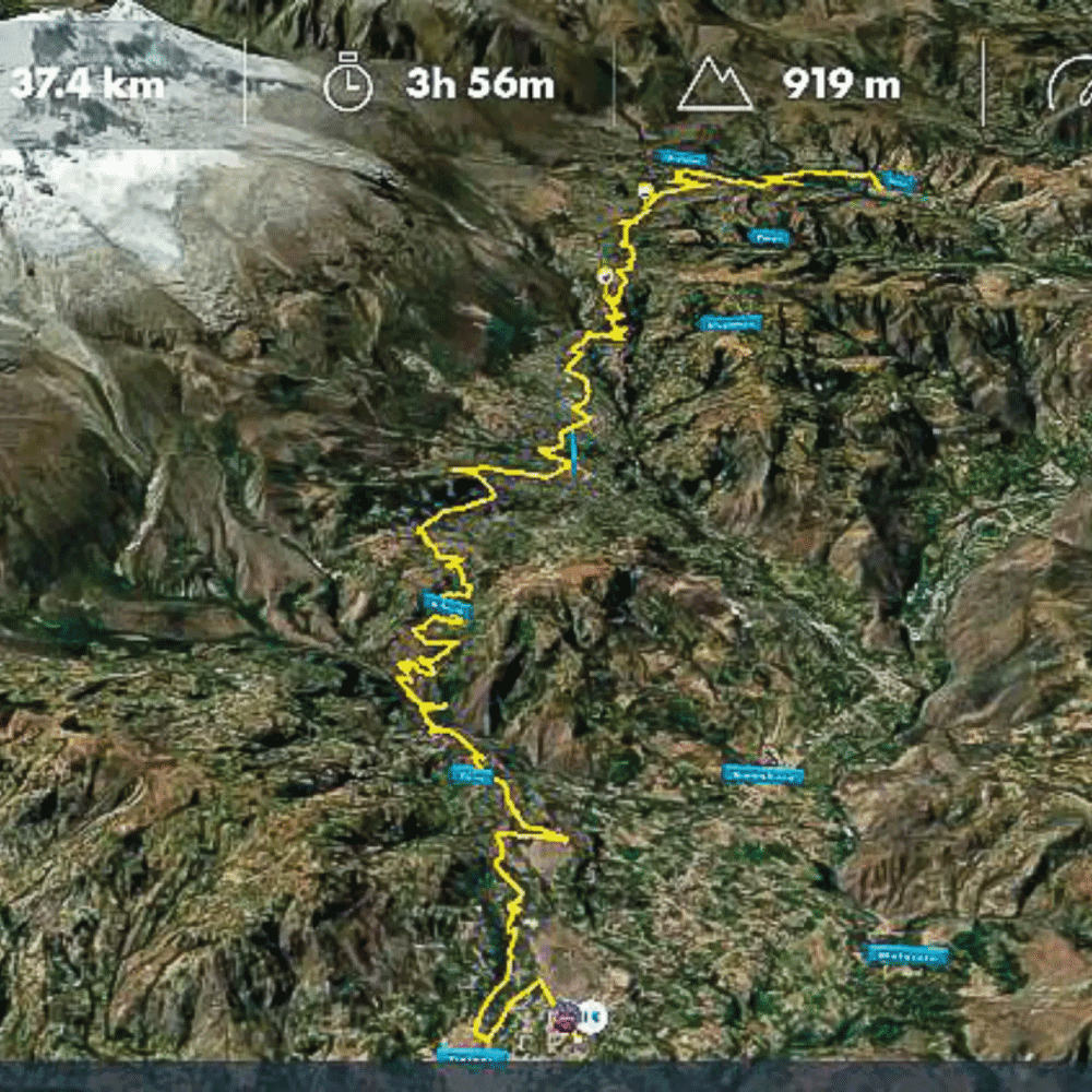
We travel by vehicle to the village of Shilla along the paved Carhuaz–Chacas road. From Shilla, we begin the trek with the majestic Huascarán as our backdrop.
We gradually ascend toward the village of Huaypan at 3,360 m.a.s.l., following a gravel road. The highest point of the route, at 3,500 m.a.s.l., is reached after passing the agricultural fields of Pampacancha.
To the south, the impressive Hualcán at 6,000 m.a.s.l. and the snow-capped Copa at 6,180 m.a.s.l. dominate the landscape, while the dark ridges of the Cordillera Negra contrast beautifully against the sky.
We then begin our descent toward the foothills of Huascarán, passing through the villages of Tumpa and Musho. Musho is the starting point for the normal climbing route to Huascarán. In each village, we take a short break to hydrate, rest, and interact with the local community.
We leave Musho and continue along a gravel road toward Cajapampa, reaching an elevation of approximately 3,200 m.a.s.l. From here, we are directly beneath Huascarán North, which rises to 6,655 m.a.s.l.
We then continue descending toward the village of Arhuay and the Ranrahirca River basin, a place marked by the tragic avalanche from Huascarán North on May 31, 1970, which buried the city of Yungay.
From the bridge, we make one final ascent before descending to the Campo Santo de Yungay. We enjoy lunch at a traditional local restaurant before returning by vehicle to the hotel.
End of the itinerary.
Distance: 35 km
Maximum elevation: 3,500 m.a.s.l.
Elevation gain: +850 m
Elevation loss: -1,335 m
- Spanish/English-speaking cycling guide.
- Full-day MTB bicycle (Trek Marlin) and helmet.
- Lunch (Quinoa Chaufa or similar) and beverages during the cycling tour.
- Light snack: cereal bars, peanuts, raisins, fruit, and chocolate, plus 2 bottles of still water.
- First-aid kit.
- Private transportation from Huaraz to Shilla and from Yungay back to Huaraz.
- Bicycle transportation from Yungay back to Huaraz.
- Transfers and accommodation in Carhuaz and Huaraz.
- Accommodation at the valley hotel.
- Tips for staff.
- IGV (Peruvian VAT).
MAECENAS IACULIS
Vestibulum curae torquent diam diam commodo parturient penatibus nunc dui adipiscing convallis bulum parturient suspendisse parturient a.Parturient in parturient scelerisque nibh lectus quam a natoque adipiscing a vestibulum hendrerit et pharetra fames nunc natoque dui.
ADIPISCING CONVALLIS BULUM
- Vestibulum penatibus nunc dui adipiscing convallis bulum parturient suspendisse.
- Abitur parturient praesent lectus quam a natoque adipiscing a vestibulum hendre.
- Diam parturient dictumst parturient scelerisque nibh lectus.
Scelerisque adipiscing bibendum sem vestibulum et in a a a purus lectus faucibus lobortis tincidunt purus lectus nisl class eros.Condimentum a et ullamcorper dictumst mus et tristique elementum nam inceptos hac parturient scelerisque vestibulum amet elit ut volutpat.